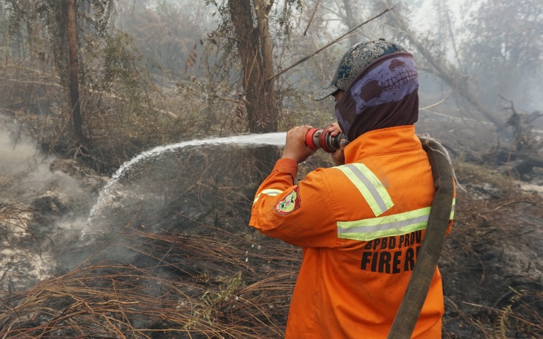
JAKARTA, Sept 4 – Indonesia is intensifying efforts to combat forest and peat fires in Kalimantan, as thick haze, poor visibility, and unfavourable cloud conditions hamper aerial firefighting operations.
The Air Pollution Standard Index (ISPU) in Palangka Raya, Central Kalimantan, spiked to 3,540 on Friday—far above the hazardous level of 300. Other areas in Kalimantan also recorded hazardous readings, including Pontianak (737), Gunung Mas (591), Katingan (484), East Kotawaringin (458), and Murung Raya (423).
A disaster agency official said the highest pollutant concentrations were forecast across West, Central, and South Kalimantan, with a new affected area emerging in the north near Malaysia.
Ground teams, water bombing, and weather modification operations continue, though adverse conditions have disrupted aerial efforts in several provinces. In South Kalimantan, authorities used thermal drones to detect underground fires and applied surfactants to retain peatland moisture. In West Kalimantan, helicopters dropped 352,000 litres of water and aircraft dispersed 1,800 kg of salt. Low visibility halted air patrols in Central Kalimantan, though one salt-dispersing flight proceeded.
A total of 263 fire hotspots were detected on Thursday across six priority provinces, with the highest numbers in Central Kalimantan (70), West Kalimantan (61), and South Kalimantan (56).
Meanwhile, police have identified 112 suspects in connection with 167 forest and land fire cases recorded since January. Land clearing was the primary motive. Some fires were reportedly deliberate, while others resulted from open-flame activities.
Riau recorded the most suspects (42), followed by South Sumatra and Central Kalimantan (20 each), East Kalimantan (13), Jambi (8), West Kalimantan (7), and South Kalimantan (2). Most cases involve privately owned land. Police said they would seriously investigate any possible corporate involvement, including major palm oil firms, and take firm action where warranted.